Google Doodle Today: Who was Marie Tharp? Biography, Discovery, and Cause of Death
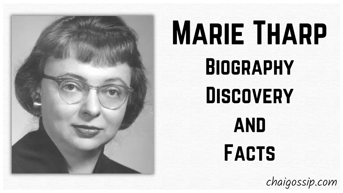
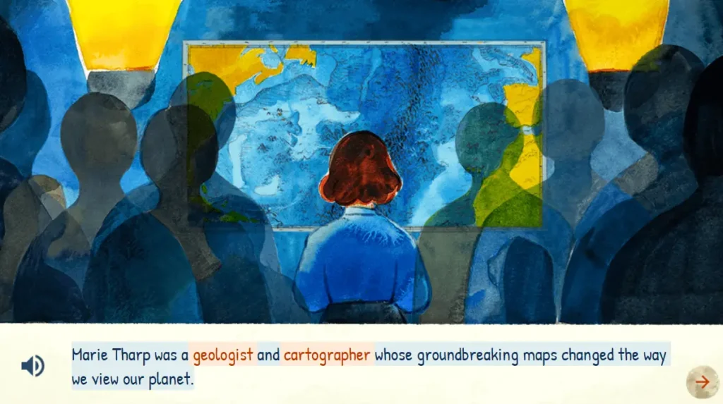
Marie Tharp was an American geologist and oceanographic cartographer who created the first scientific map of the Atlantic Ocean floor. Marie Tharp was born in Ypsilanti, Michigan on July 30, 1920. Marie Tharp realized after seeing the map that the ocean floor could help prove the scientific theory of continental drift or the idea that continents move.
As a soil surveyor, her father created maps based on the information he gathered about the soil. Tharp frequently accompanied her father into the field, thus she was exposed to mapmaking at a young age. Tharp attended 17 different schools before graduating from high school due to her father’s business, transporting the family across the country.
She graduated from the University of Ohio with a bachelor’s degree in English and music. She received her master’s degree in geology from the University of Michigan in 1944. Tharp subsequently relocated to Oklahoma and began working in the oil sector. She earned a master’s degree in mathematics from the University of Tulsa in 1948.
Biography/Wiki
Career and Discovery
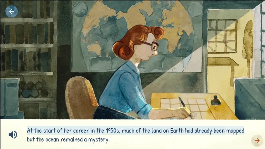
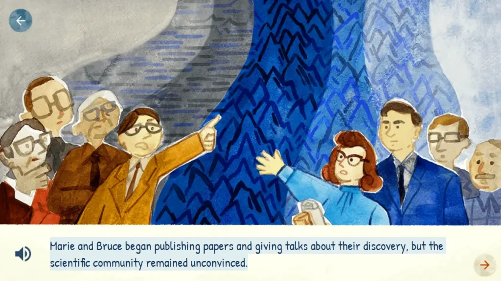
Marie Tharp began working as a research assistant at Columbia University’s Lamont Geological Observatory in New York City in the late 1940s. (It has since been renamed the Lamont-Doherty Earth Observatory.) There, she met fellow geologist Bruce Heezen. They collaborated together over the next 30 years. Tharp and Heezen were involved in a project to map the ocean floor.
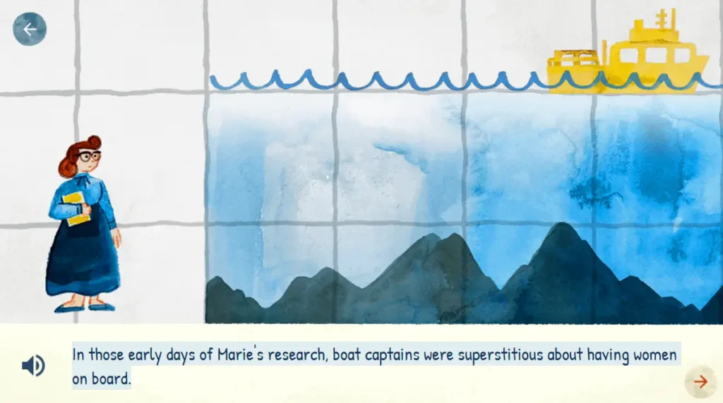
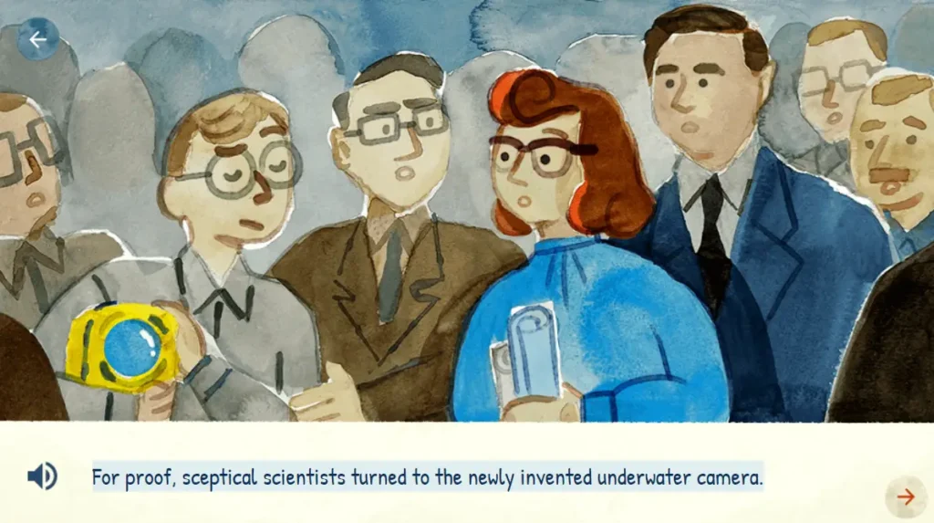
Other scientists had constructed maps of the ocean floor, but Tharp and Heezen were able to see more details because of improved equipment. Because women were not permitted on research boats at the time, Heezen went out on the water and collected data using sonar (a device that detects what is under the water)
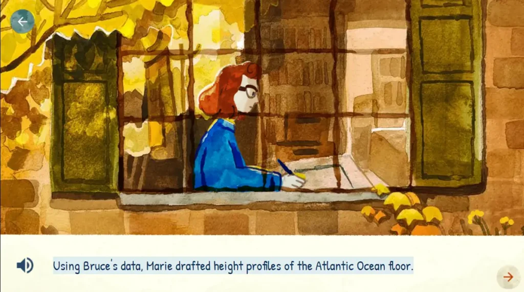
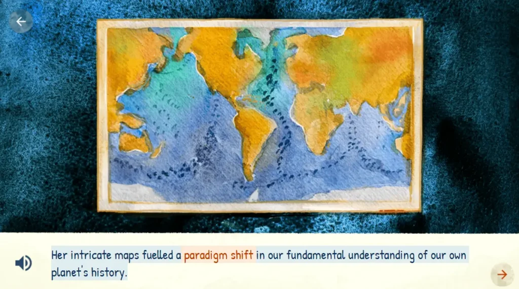
Tharp then received the data. She used only pens and rulers to figure out what was on the ocean floor. In 1957, they finished drawing the first map of the North Atlantic Ocean.
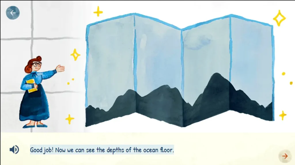
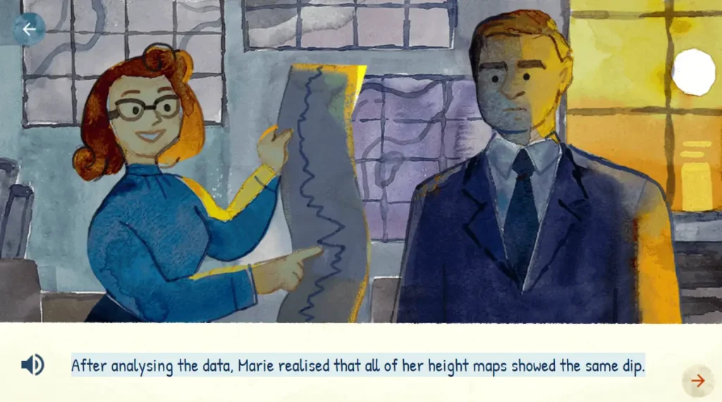
Scientists expected the ocean floor to be essentially flat and featureless. Tharp’s chart revealed basins, canyons, and mountains on the ocean floor.
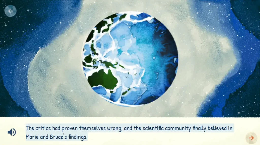
The first map of the entire ocean floor was released by Tharp and Heezen in 1977 after they had previously published maps of various regions of the ocean floor.
Family and Relatives
Personal Life
| Marital Status | Married |
| Husband | David Flanagan (1948) |
Early Life and Cause of Death
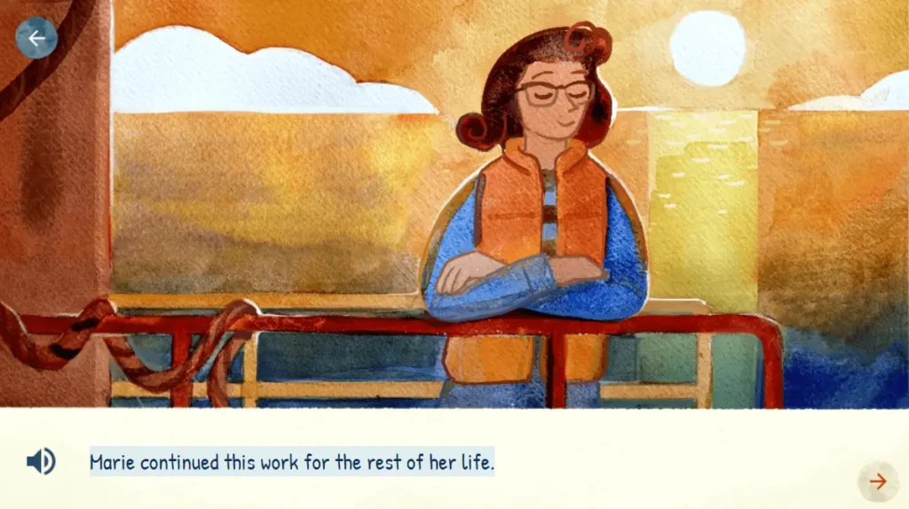
Marie Tharp taught at Columbia University until 1983, following which she retired and started a map distribution business in South Nyack. In 1995, she donated her map collection and notes to the Library of Congress’ Map and Geography Division. Marie Tharp died of cancer on August 23, 2006, at the age of 86, in Nyack, New York.
Awards and Honouring
- 1978 – National Geographic Society’s Hubbard Medal
- 1996 – Society of Woman Geographers Outstanding Achievement Award
- 1999 – Woods Holes Oceanographic Institution’s Mary Sears Woman Pioneer in Oceanography Award
- 2001 – Lamont–Doherty Earth Observatory Heritage Award
Facts About Marie Tharp
- Marie Tharp, the “great dame of ocean exploration,” was barred from boarding a ship for the first 17 years of her geology career.
- When she found evidence that the continents move, her colleague dismissed it as “girl talk.”
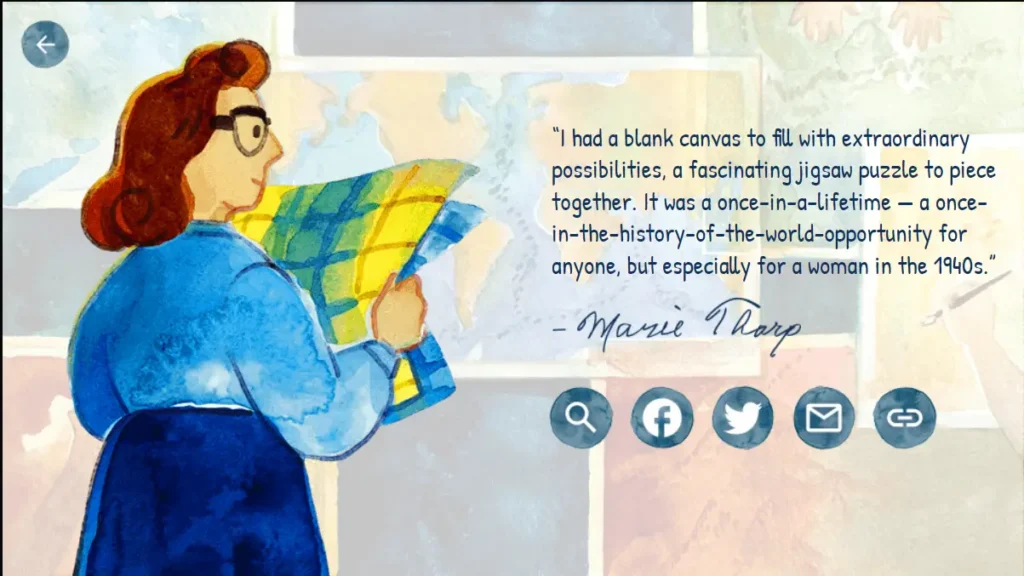
- She most likely would not have been able to study geology if World War II had not occurred.
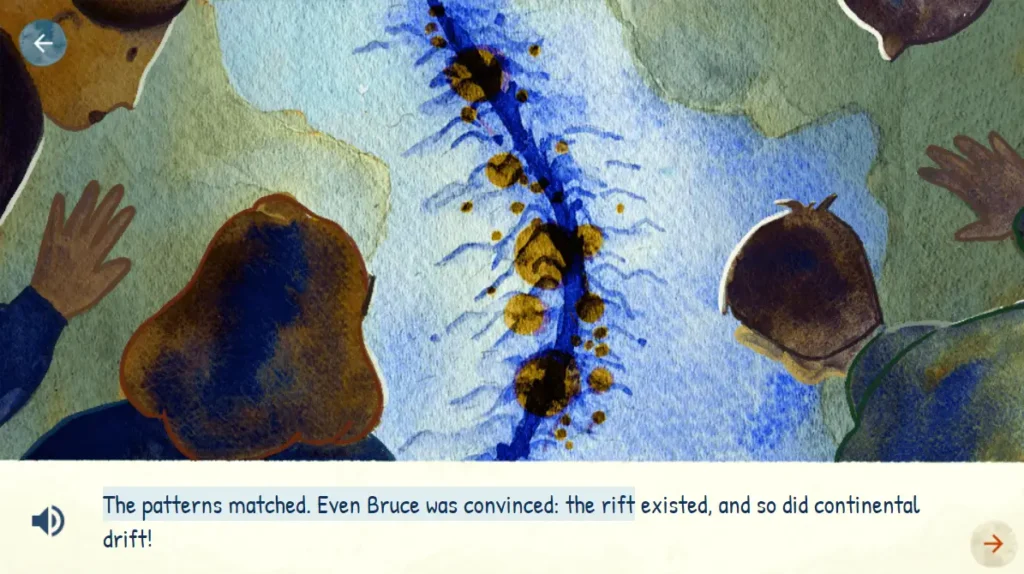
- She discovered the remarkable discovery of a 10,000-mile ridge in the middle of the Atlantic Ocean in 1953.
- Her map of the world’s oceans was so large that only one printer in the country could handle the job.
Google Doodle Photos of Marie Tharp
